New Jersey will have a blustery day with highs near 50.
•
Feb 16, 2025, 3:38 AM
•
Updated 11 hr ago
NEW & NOW: Rainy and strong wind gusts make for an interesting Sunday! Sharp line of thunderstorms in the afternoon with temperatures bubbling up to 50 – 62!
NEXT: Wild weather trend carries into next week! Gusty Presidents’ Day, followed by next weather maker possible snow very late Wed – Thu! Still tracking trends and fine-tuning next week storm details!
TODAY & TONIGHT: A flip to “mild” wintry mix early morning to rain showers. Rumbles of thunder possible in the afternoon, from 11:30 a.m. – 7:30 p.m. Strong line of thunderstorms end near 6 p.m. The weather quiets after 8 p.m. and dries. Then the winds start! Highs near 50. Overnight lows 32.


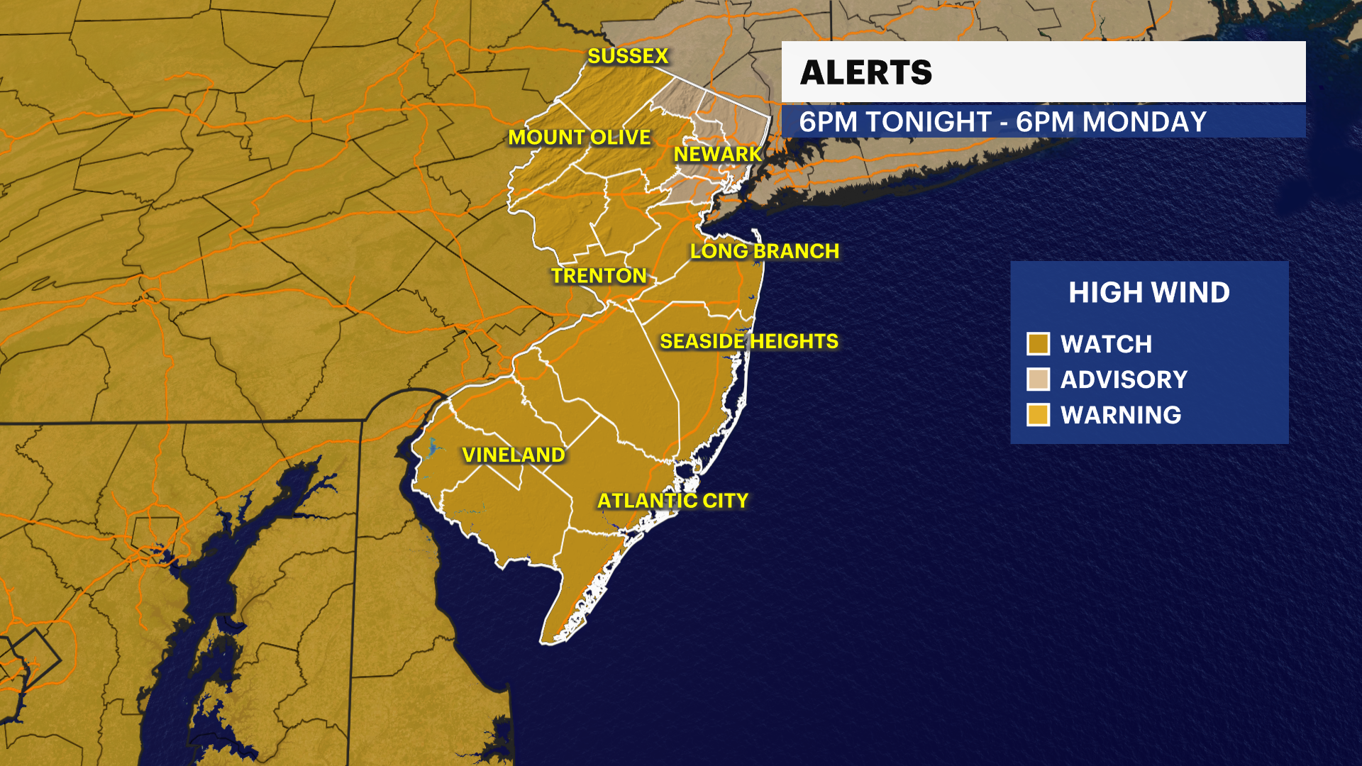
MONDAY: Back to dry but very windy! Gusts 40-60 mph. Dangerous travel, especially to higher profile vehicles, bridge passes. Impacts likely to include power outages. Highs near 35. Overnight lows near 28.

TUESDAY: Mostly sunny. Breezy. Highs near 32. Overnight lows near 18.
WEDNESDAY: Mostly quiet, some clouds with sunshine ahead of possible snow very late into Thu overnight. Wobble and storm track is being followed closely! No definitive track yet. Highs near 31. Overnight lows near 17.
